Google Maps upset Ukrainians' positions photos: Russians actively using snapshots.


Updated Google Maps photos 'revealed' the locations of Ukrainian military positions.
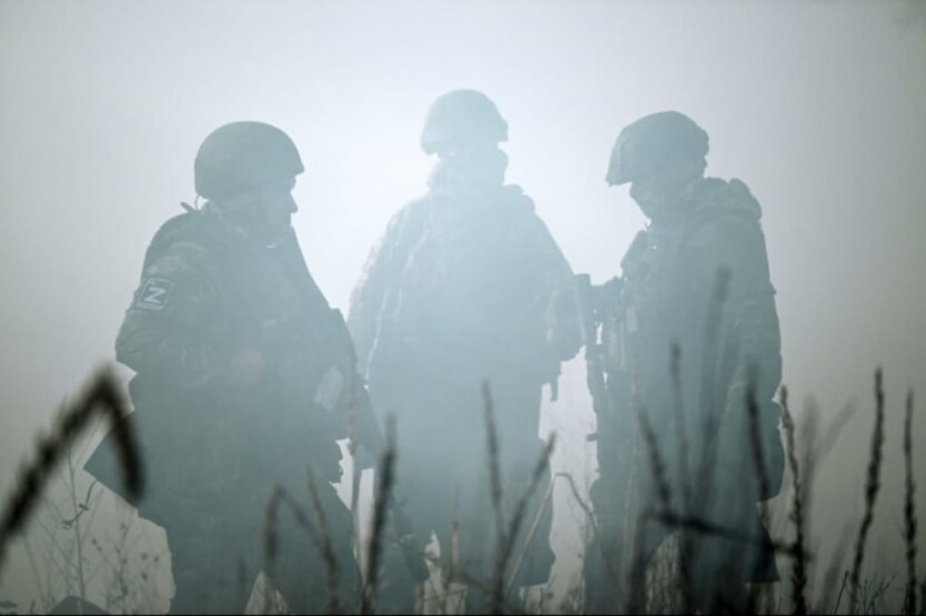
Head of the Center for Countering Disinformation (CPD) Andriy Kovalenko reported that updated Google Maps photos revealed the locations of Ukrainian military positions. He appealed to Google Maps to correct this situation, but received a response that it was impossible due to the weekend. Russians, in turn, are actively using these snapshots.
"Imagine the situation. Google posts updated images on maps showing the locations of our military systems. We asked them to quickly correct this, but they said they are off on weekends. Russians are already actively using these snapshots. What is wrong with this world?" - Kovalenko wrote.
After the public reaction, the head of CPD reported that he contacted Google representatives. They are already working on correcting the situation with snapshots of the locations of Ukrainian military systems.
"We will also discuss how to promptly resolve similar issues in the future," - Kovalenko added.
Reminder, Russia attacked Kyiv and the region with drones overnight.
Read also
- Orks-once attack Siversk: military on the change of the enemy's assault tactics
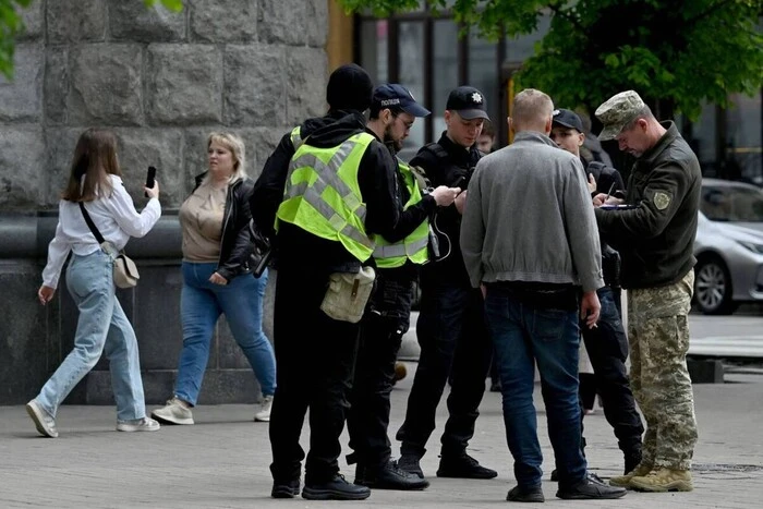
- Do the Territorial Recruitment Centers Violate the Law? The Ground Forces Showed Statistics
- Ukrainian commander revealed details of the new strategy of the occupiers near Pokrovsk
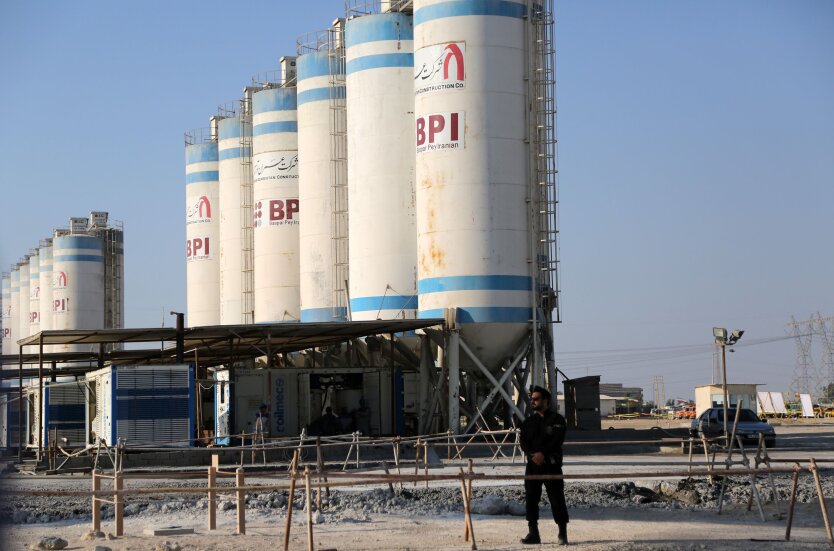
- The IAEA made a disturbing forecast regarding uranium enrichment in Iran
- Russians are preparing for new provocations in sensitive areas - intelligence
- Russians are storming a key settlement in Zaporizhzhia - Defense Forces